Julian Ravest, addressing an audience of over 100, spoke about the use of drones in the photography of archaeological sites. The speaker briefly described the early history of aerial photography showing how the key concepts had been developed in the early years of the 20th century, huge strides being made during WW1. In particular, using oblique lighting was important in revealing subtle humps and bumps in the landscape, while sets of photos were used in mapping and overlapping pairs of images revealed 3D images of the terrain when viewed in stereoscopes.
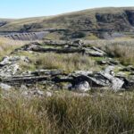
Starting at Llandrindod Wells, Julian took the audience on a photographic journey starting at the Roman Road and practice camp on Llandrindod Common, past the enclosures of Caer Du onto the archaeological rich Gilwern Common. On the Common, there are many signs of bronze age activity in the form of burial cairns and standing stones as well as abandoned medieval farmsteads. The major feature of the Common is Castle Bank, an impressive, multi-phase iron age hillfort. Aerial photographs reveal details of its construction and the house platforms in its interior.
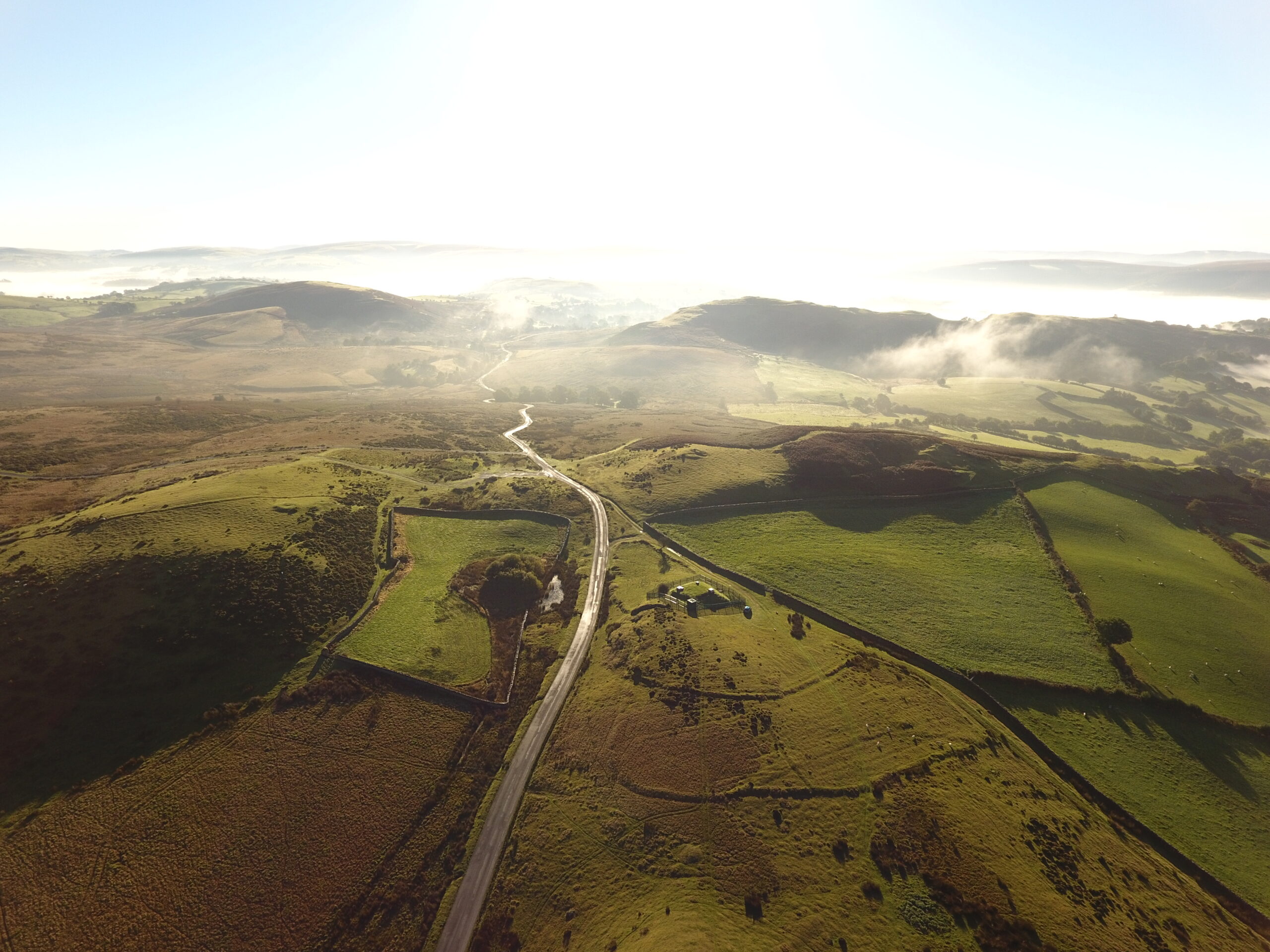
Julian showed images of the Roman Fort of Castell Collen on the north fringe of Llandrindod. He described this as the gem of Llandrindod’s archaeological past. Taking the road north out of Llandrindod, Julian drew attention to the extensive earthworks of unknown date and purpose next to Llanbadarn Fawr Church. Stunning early morning images of Llandegley Rocks and hillfort revealed another area rich in archaeological remains. Norman military presence was illustrated by Cruygedd Castell and Tomen Castell both easily seen from the A44. The first is a fine example of a Motte and Bailey, the second a simple Motte. On a larger scale were Cefnllys, New Radnor and Knucklas Castles which served as power bases for the Mortimers.
Julian used Knucklas Castle as an example of how the use of multiple overlapping images could be computer processed to create 3D computer models of sites. The example of the Roman Caeurau Fort was used to show how, even with a more level site, computer analysis could produce virtual lighting across the model, simulating low-angle sunlight, to show previously unrecorded details not visible from ground level.
In his final section Julian concentrated on Penybont Common. Julian has used some 5,000 images to produce a detailed map of the one square mile common. Analysis of these images showed for the first time the extensive medieval field system that once covered the area. The study of this area is now an area of continuing work, in particular to determine when the fields were abandoned. Three possibilities were suggested: The Black Death of 1349, the ravages of Owain Glyndwr around 1400 or later Tudor “clearances” by landlords to make way for sheep.
Overall, Julian demonstrated how aerial photography using drones could reveal fresh insights and pose new questions into the archaeology of Radnorshire.